Global Bird Rescue 2019 - Starting 30/09/19
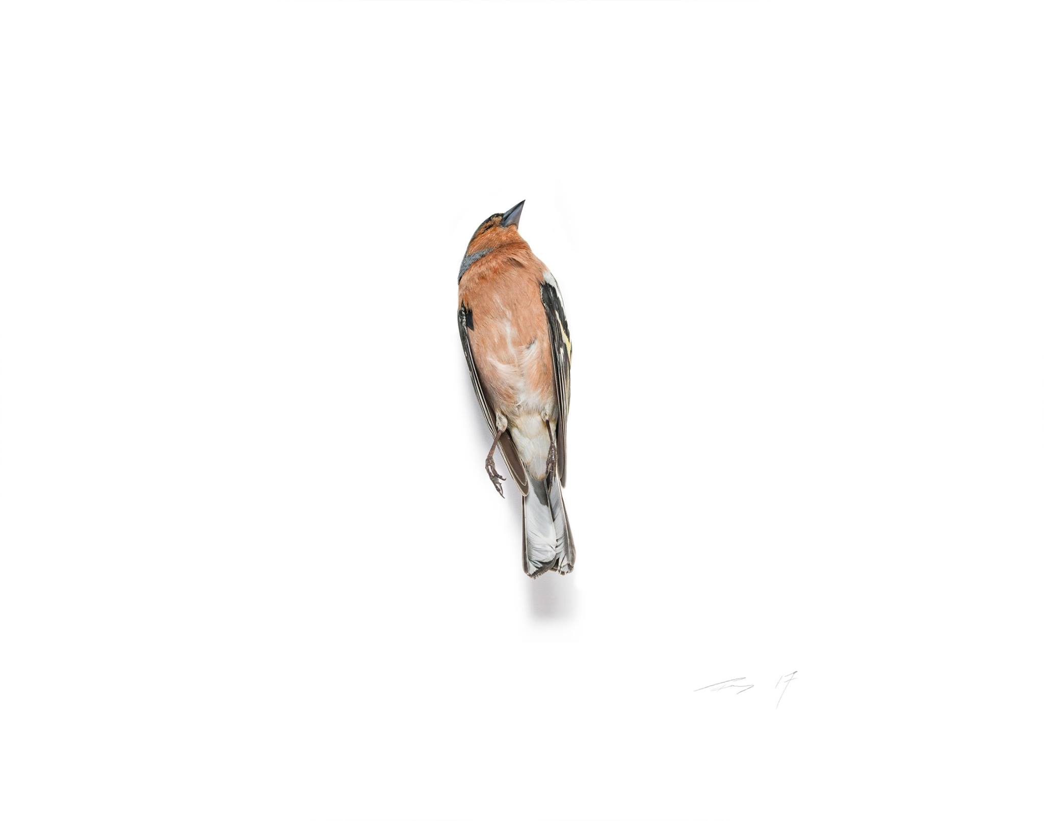
The Global Bird Collision Mapper is an international bird collision database designed to help better understand where and to what degree collisions are occurring.
Your participation in Global Bird Rescue will not only help demonstrate the magnitude of the problem, it will help inspire further development of effective preventative measures and standards designed to protect bird species.

The Global Bird Collision Mapper (GBCM) is just that! a global citizen science project which starts the day after the Great Kererū Count finishes. Global Bird Rescue (GBR) is an annual event hosted by FLAP Canada |>Birdsafe that uses the Global Bird Collision Mapper (GBCM) to document bird-building collisions across the globe.
Each year during the first week in October, teams, and individuals take to the streets and to social media to raise awareness about this critical issue. This years’ event is being held from September 30 through October 6, 2019. Global Bird Rescue will bring the issue of bird building collisions into the hands of the public. This week-long event will bring communities together to search for fallen birds in their neighbourhood.
This worldwide project encourages people to search for birds, in the hope to increase the chances of finding live birds sooner, thus increasing their chances for a successful rehabilitation/release.
Using the Global Bird Collision Mapper, participants will be able to report the location, status and species of the birds they recover, including the ability to upload a photo of each bird they report. This citizen science tool will show every collision reported on its interactive GIS map, providing invaluable data for a greater understanding of the bird-building collision issue. Even after the project finishes you can continue to use the Global Bird Collision Mapper for any bird-building collisions you encounter throughout the year.
This will be the first time New Zealand has played a part in this global project which will give an insight into the harm our endemic and native birds face in urban areas. PLEASE join the Global Bird Collision Mapper and give our beautiful birds a voice!